9 of 14 images
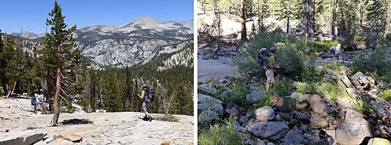 |
Cross-country down the Red Peak Fork of the Merced We took an "easy" cross-country route down the Red Peak Fork of the Merced River. It was supposed to be lots of open granite slabs along the gurgling creek with no navigational challenges. Hmmm... it took us 6 hours to bushwhack the 4.5 miles through thigh-high thorn bushes and fallen logs and then walk down 400 feet of rather steep granite slabs. At one point we got cliffed (it's impossible to detect a 20 ft. cliff on topo maps with 40 ft. contour intervals) but we found a way to climb down. Once at the bottom we had to figure out how to cross the Merced, which we ended up doing as a wet crossing; at one point the water was more than half way up my thighs but it all turned out OK. |